FREMONT, Calif., Jan. 6, 2020 /PRNewswire/ -- DroneInch, Inc. today announced DroneInch 2.0, the industry's first carrier-class drone operations management platform. Unique features include remote and compliant flight planning, carrier-class operations, multi-stakeholder workflows, and flexible pricing models. The software works across a range of DJI consumer, professional and enterprise thermal drones (Spark, Mavic, Phantom, Inspire and Matrice series). The system can be seen at the Consumer Electronics Show (CES) this week in Las Vegas at Eureka Park in the Sands Pavilion, Hall G, Booth # 51107. DroneInch 2.0 is available immediately from the Apple App Store.

As Arizona enters a crisis situation with the 21st year of long-term drought, golf courses are being asked to do more to conserve water or face mandatory restrictions. "At The Country Club at DC Ranch, we are constantly looking at pioneering innovations such as use of drones for conservation. DroneInch's drone operation management platform will give us a highly accurate ground moisture map every morning, which can be used to limit irrigation only to dry areas rather than watering the whole turf," said Dick Hyland, senior vice president of Golf and Agronomy at The Country Club at DC Ranch. "Caring for the environment and saving Arizona's future while continuing to provide unparalleled experience to our golfers is what we strive for every day."
"At DroneInch, we are democratizing drone usage. DroneInch is the first carrier-class operations management platform to enable large-scale adoption of off-the-shelf drones across different industries and use cases," said Srivatsan Desikan, CEO of DroneInch.
DroneInch's platform enables customers to manage their drone operations from flight planning to executing the mission to driving collaborative workflows. Capabilities include:
Carrier-class Drone Operations Management – Customers can manage thousands of flights across multiple accounts on a single platform. The software enables multiple levels of authorizations, account level costing, and easy assignment of roles and responsibilities. The flight missions can be easily tracked and managed at scale across the globe. Easy one-touch uploads of the collected data to the cloud eliminates the need to work with memory cards. In addition, the captured data is centralized and secure, allowing multiple users to work together and drive meaningful outcomes from every mission.
Remote and Compliant Flight Planning – Site managers can plan remotely and coordinate with local drone operators on-site to schedule and initiate flights, with one click. Through its built-in partner network, the system automatically checks for safety, weather, and compliance requirements for worry-free operation. Furthermore, its collision-protection sensors and unique terrain-hugging functionality eliminates crashes. Once launched, the software flies the drone and no manual controls are required to fly, navigate, or land the drone.
Multi-stakeholder Workflows – The software delivers end-to-end workflows on a single platform. With a SaaS-based approach, DroneInch is the only system that enables users in different locations to retrieve, share, analyze, and collaborate on the drone-collected data. Users can annotate images with important information or notes and drive in-context action right from the drone images. The software also notifies users of updates or when actions are required. In addition, users can perform time-based comparisons across missions as all historical data is stored securely on DroneInch Cloud.
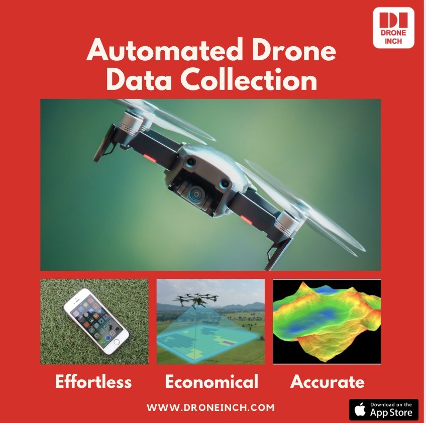
Effortless Autonomous Flights – Site managers can remotely schedule repeatable autonomous flights from anywhere in the world via mobile device. The software automatically determines the optimal flight path to fly the drone. This eliminates human and environmental errors and accelerates the drone missions. Users can easily select industry-specific flight patterns based on their business. In addition, customers can also do a quick visual inspection, using the one-click "Fly Now" mode where the software will automatically fly the drone with just two user inputs: location and height.
High Quality, Rich Data – The high-powered cameras can retrieve aerial images that can be zoomed in for closer inspection. For example, when flying over a farm, the software can provide moisture map images to detect soil moisture and dry spots that need attention, saving customers additional effort and expense.
Flexible Pricing Models – Users have the option to pay per mission or by subscription. Customers on subscription pay one low monthly fee and have the flexibility to run unlimited missions.
About DroneInch
DroneInch's end-to-end operations management platform shatters the barriers that have prevented businesses of all sizes from adopting drones ubiquitously. The company equips organizations with a single platform for managing thousands of flights, where every flight can be planned remotely, and all flights are compliant and safe. Individual businesses can manage multiple users and Service Providers can manage several clients at scale. The platform is architected to drive action, collaboration, and workflows across multiple stakeholders. DroneInch serves multiple industries such as military, government, agriculture, vineyards, sports, rails and roads, construction, real estate, mining, oil and gas, manufacturing and public safety. DroneInch: Drones Democratized. Find out more at www.droneinch.com.
SOURCE DroneInch

